")

Geographic Information System
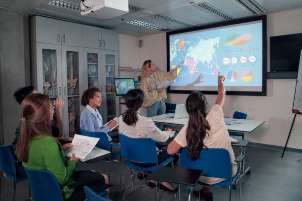
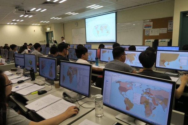
GIS (Geographic Information System) . GIS is a powerful tool used for capturing, storing, analyzing, and managing spatial and geographic data.Geographic Information Science and Technology, providing interdisciplinary training in GIS, remote sensing, and spatial analysis. These programe offers several online certificate and degree programs in GIS and geospatial intelligence. These programs are designed for working professionals seeking to enhance their skills or pursue a career in GIS.